
Wayne Township, New Jersey, maintains more than 200 miles of roads. Engineering inspections and resident complaints have traditionally helped determine which streets should be repaired first. That process has a blind spot: a damaged road with few or no homes may generate few complaints, even when its surface is deteriorating.
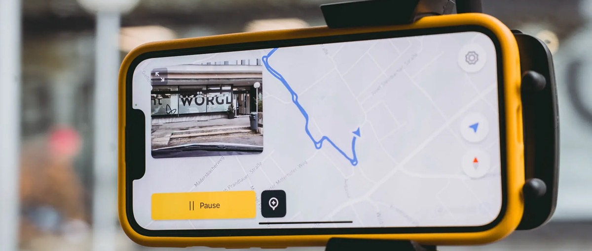
The township is now adding another source of evidence. Staff mount a smartphone inside a vehicle and drive the road network while the phone records images and location data. vialytics analyzes the footage, scores road segments, and places the results on a map. Township officials can then revisit roads that might otherwise receive little attention and compare them using a more consistent assessment method. News 12 field report
Wayne’s first proposed repaving group contains 20 roads, with Buens Lane ranked at the top of the assessment. The township reserved about $2.2 million for that construction work. That figure is the road-project budget, not the price of the AI software. A separate procurement notice awarded vialytics a one-year road-management-system contract with a maximum value of $31,936. Keeping those two purchases separate is essential to understanding the product’s commercial role. News 12 field report Wayne Township procurement notice
Put every road segment on the same map
As the vehicle moves, the smartphone captures the road surface and its location. The software identifies visible damage, estimates severity, and organizes the results by road segment. Public-works staff can open a segment, review the underlying imagery, and compare its condition with other streets. A complaint can still bring attention to a road, but the map gives the department a second way to find and evaluate streets that residents have not reported. vialytics system description
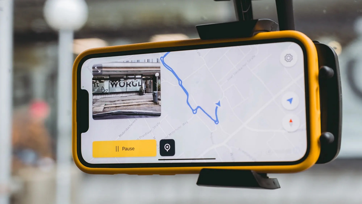
A vehicle-mounted smartphone collecting road imagery, from vialytics product material.
The score does not automatically become a work order. In the News 12 interview, Wayne officials made clear that the township still decides which roads to repave. The software contributes a comparable record of surface condition; it does not control the construction budget or replace engineering judgment.
That boundary is important for a public-sector AI product. Road maintenance involves traffic, drainage, utility work, available funding, construction timing, and local priorities. A surface score can make one part of the decision more systematic without pretending to resolve every constraint. The useful product promise is therefore narrower than “AI decides which road gets fixed.” It helps officials see more roads and compare the evidence before they decide.
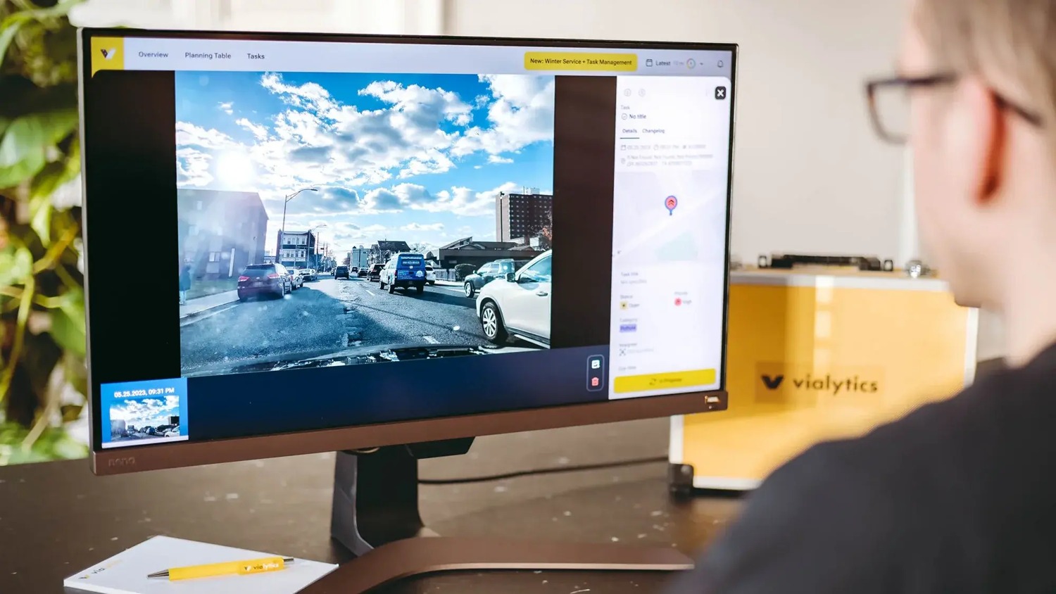
An example vialytics management interface. It is not Wayne Township project data.
The contract follows the road network, not each pothole
vialytics says its pricing depends on the total length of the road network, road types, and the modules a customer selects. A compatible smartphone can lower the cost and complexity of field capture, but the customer is buying more than a camera workflow. The system also stores the observations, provides a map, supports comparisons among segments, and gives staff a record they can revisit when planning another maintenance cycle. vialytics pricing approach
This structure fits the recurring nature of road management. A town does not inspect its roads once and finish the problem. Conditions change, repairs alter priorities, and each budget cycle creates a new set of choices. Retaining prior imagery and assessments means the next discussion can start from an existing record rather than an empty spreadsheet or a new round of disconnected complaints.
Wayne’s procurement notice provides a concrete commercial reference: one year and a ceiling of $31,936. A contract ceiling is not proof that the full amount was spent, and it should not be read as vialytics’ standard price for every municipality. It does show that the software purchase is small relative to the separate construction budget and that the buyer treats road assessment as an operating system for planning, not as a per-pothole transaction.
Easier field capture still needs a procurement path
In November 2026, vialytics announced that its system had become available through an OMNIA Partners cooperative-purchasing channel. Eligible public agencies can use a competitively solicited framework instead of each running the same procurement process from the beginning. Wayne awarded its contract in April, so its purchase cannot be attributed to the later OMNIA channel. The two events still reveal the two adoption problems a municipal product must solve: the field workflow must be easy enough to deploy, and the purchase must fit a route government buyers can legally use. OMNIA supplier page Wayne Township procurement notice
A smartphone addresses the first problem. Municipal crews already have vehicles and can collect images while driving the roads they manage. A cooperative contract addresses part of the second problem by reducing repeated procurement work for qualified agencies. Neither mechanism proves that a town will approve a purchase, but together they reduce friction on both sides of adoption.
The strongest evidence will come after the first construction cycle. Counting detected cracks or potholes is not enough. Wayne should be able to ask whether roads that previously received few complaints now appear in planning discussions, whether repeated assessments produce consistent priorities, and whether staff can explain why one segment moved ahead of another. Those measures connect the AI output to the public decision the town is actually making.
vialytics occupies a deliberately limited place in that process. The phone gathers a repeatable visual record, the model organizes and scores road conditions, the map helps staff compare segments, and public officials decide how to spend the repair budget. The product becomes valuable when it improves the evidence available to that final human decision, especially for roads that were easy to overlook.